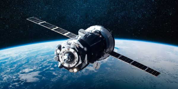
In recent years, Earth observation satellite technology has advanced significantly, providing detailed, real-time images of our planet. These images offer a unique perspective on different aspects of the Earth, from weather patterns to urban transformations. With the increase in public interest in Earth observation, several applications have emerged that make these satellite images easier to access. In this article, we will explore the best satellite imagery apps available on the market, analyzing their features, advantages, and how they can be used for different purposes.
Google Earth: A Visual Journey Around the Planet
Google Earth is undoubtedly one of the most well-known and widely used satellite imagery applications. It allows users to virtually travel to any location in the world, offering detailed views of cities, natural landscapes, and even the depths of the oceans. The user interface is intuitive, making it easy to navigate and explore different regions. In addition to satellite imagery, Google Earth also offers features such as Street View, which provides a street-level view of many places around the world. The app is a powerful educational tool, allowing teachers and students to explore geography, history, and science in an interactive way.
NASA World Wind: Exploring Space and Earth
Developed by NASA, World Wind is an app that offers a rich collection of satellite images and 3D models of planet Earth. This app is particularly useful for researchers and educators, as it provides access to scientific and environmental data. World Wind allows users to view layers of data, such as temperatures, vegetation, and even track weather events in real time. In addition, the app offers a unique experience of viewing the Earth at different points in time, showing how the planet has changed over the years.
Sentinel Hub: Instant Access to Satellite Imagery
Sentinel Hub is a cloud-based platform that provides quick and easy access to a wide range of satellite imagery. This application is ideal for professionals and geography enthusiasts who need quick access to up-to-date imagery. Sentinel Hub supports several satellite missions, including the European Union’s Sentinel satellites, providing a variety of data such as multispectral imagery and radar data. Users can customize the visualizations to their specific needs, making it a valuable tool for environmental and agricultural analysis.
Zoom Earth: Real-Time Weather Observation
Zoom Earth stands out for providing near-real-time satellite imagery, with a special focus on weather patterns and natural events. The app is updated frequently, giving users the opportunity to observe phenomena such as hurricanes, wildfires, and floods as they happen. This tool is extremely useful for meteorological professionals, as well as for the general public interested in tracking weather events around the world.
ESRI's ArcGIS Earth: Professional Geospatial Analysis Tool
ESRI's ArcGIS Earth is a robust platform that offers not only satellite imagery but also a range of geospatial analysis tools. This application is primarily targeted at professionals in urban planning, geography, and environmental sciences. ArcGIS Earth allows users to integrate their own data and perform complex spatial analyses, facilitating urban planning, natural resource management, and environmental studies.
Skybox: Viewing the World in High Definition
Skybox is a relatively new app that excels at providing high-definition satellite imagery. It is especially useful for commercial and research purposes, offering precise details that can be crucial for market analysis, environmental monitoring, and urban planning.
Conclusion
The availability of satellite imagery apps has had a huge impact on everything from education to scientific research to urban planning. They offer a window into the world that was unimaginable just a few decades ago, providing a new perspective on our planet. With these tools, anyone with a smartphone or computer can explore the world in unique and enriching ways. As satellite technology continues to evolve, we can expect these apps to become even more advanced, offering more detailed images and a wider range of functionality. So whether you’re a professional in the field, an enthusiast, or simply someone curious about our planet, there’s a satellite imagery app that will suit your needs.
