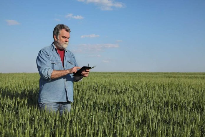
Whether you're a construction professional, a landscaping enthusiast, or simply someone who needs to measure land for any reason, finding the right tools can be a challenge. Fortunately, modern technology is making this task much easier and more accessible. With a variety of free apps available, you can accurately measure land without the need for expensive equipment or specialized surveying experience. In this article, we'll explore the seven best free apps for measuring land, helping you simplify the process and save precious time and resources.

Google Earth:
This application is a classic tool for viewing maps and terrain in 3D. With built-in measurement features, you can easily calculate the area of a plot of land by simply drawing the desired contour. Google Earth is intuitive and easy to use, making it a popular choice for beginners and professionals alike.
Measure Distance on Map:
As its name suggests, this app is specifically designed for measuring distances on maps. With a simple interface, you can mark points on the map and calculate the distance between them. While it's not as comprehensive as some other options, it's a useful tool for quick and simple measurements.
MagicPlan:
Ideal for construction and interior design professionals, MagicPlan lets you create accurate floor plans simply by taking photos. Although it is best known for its indoor use, it can also be used to measure land outdoors. Just take photos of the landmarks and the app will calculate the dimensions automatically.
Planimeter:
This app offers a simple and straightforward approach to measuring areas on maps. With intuitive drawing features, you can easily outline the perimeter of a plot of land and get an accurate measurement of the area. Planimeter is a great option for those looking for a basic and effective tool.
MapPad:
Equipped with a wide range of features, MapPad stands out as a versatile choice for measuring terrain. Additionally, in addition to calculating areas, this application also offers support for importing and exporting data, making it easier to share your measurements with other devices or applications. Thanks to its user-friendly interface, it is suitable for users of all skill levels.
GPS Fields Area Measure:
This app uses your device's GPS to measure areas in real time. Simply walk around the perimeter of the land and the app will track your position and calculate the area automatically. Although accuracy may vary depending on signal conditions, it is a convenient option for quick open field measurements.
Geo Measure Area Calculator:
With an intuitive and easy-to-use interface, this application offers a variety of tools for measuring land. Additionally, when calculating areas, it also allows you to add reference points. Additionally, you can create perimeter lines and even draw custom shapes. With advanced features and an affordable approach, it's a solid choice for a wide range of applications.
With the help of these seven free apps, measuring land has never been so easy and accessible. Plus, regardless of your needs or skill level, there is a tool available to help you simplify the surveying and planning process. So try these apps today and discover how they can make your next land measurement quick, accurate and stress-free.
